 Documentation
Overview 
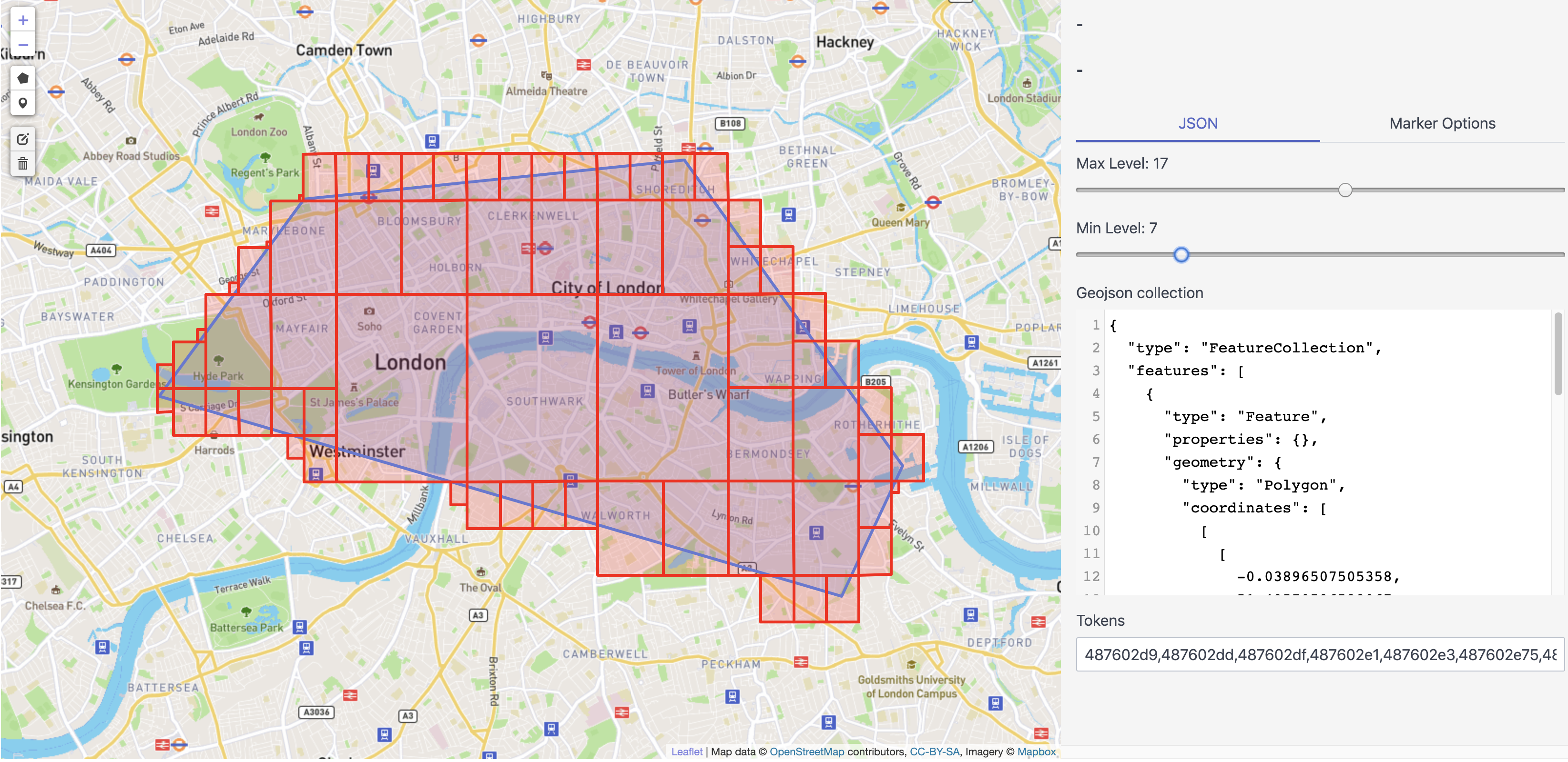
Package s2geojson converts geojson to s2 cells with region coverer and demonstrating some s2 features on map
- Display s2 cells on leaflet map using the region coverer.
- Convert geojson features to cell unions depending on the min and max levels (supported only Polygons and Points).
- Draw points and polygons.
- Check intersection with the geojson features.
Click to show internal directories.
Click to hide internal directories.

